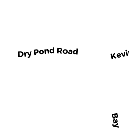
11 DRY POND RD
Owner Information
ROY, INDRANIL
11 DRY POND RD
SHARON, MA 02067


Property Details
11 DRY POND RD is classified as a Single Family Residential (Colonial).
The primary structure on this property was built in 1998. There are 6,772ft2 of built area within this property. There is 3,564ft2 of residential/living space within this property. This property is listed as having 10 rooms.
11 DRY POND RD is valued at $905,100. The land is valued at $348,800 and the structures are valued at $552,600. There is an additional valuation of $3,700 on this property.
The most recent deed for 11 DRY POND RD is recorded at the local registrar in Book 34747, Page 0487. 11 DRY POND RD was last sold on Friday, December 9, 2016 for $861,000.
Assessment data from fiscal year 2022.
Flood Data
According to the FEMA National Flood Hazard Layer, this property does not appear to be in a flood zone. It may also be in an area not yet reviewed. Nonetheless, confirm this information prior to taking any action.
To view the flood hazards around this property, create a FEMA "Firmette" Map of the area around 11 DRY POND RD.
Broadband Internet Providers
| Provider | Type | Bandwidth (mbps) | |
|---|---|---|---|
| GCI Communication Corp. | Satellite | 0 | 0 |
| Viasat Inc | Satellite | 100 | 3 |
| HughesNet | Satellite | 25 | 3 |
| VSAT Systems, LLC. | Satellite | 2 | 1 |
| T-Mobile | Fixed Wireless | 25 | 3 |
| Comcast | Cable | 1000 | 35 |
| Verizon New England Inc. | DSL | 5 | 0 |
Broadband service provider data from December 2020.
Adjacent Properties
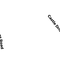
- 1505 BAY RD
Developable Residential Land owned by BIRCH HILL TRUST CORP - 4 DRY POND RD
Vacant, Conservation (Municipal or County) owned by TOWN OF SHARON - 13 PRINCE WAY
Single Family Residential owned by KRECHMER, JOSHUA - 14 PRINCE WAY
Single Family Residential owned by GREENSPAN, JOSEPH A - 7 DRY POND RD
Single Family Residential owned by ZHANG, YIFEI - 24 EISENHOWER DR
Single Family Residential owned by BOXERMAN, JERROLD L